
Welcome to the future of FPV Drones.
Indigeniousely made in India with Flight controller developed by IIT Delhi.
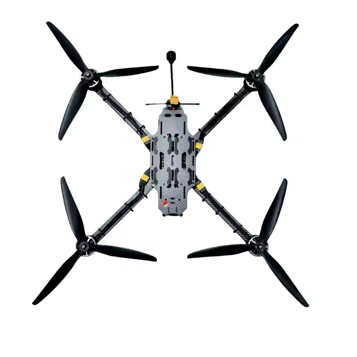
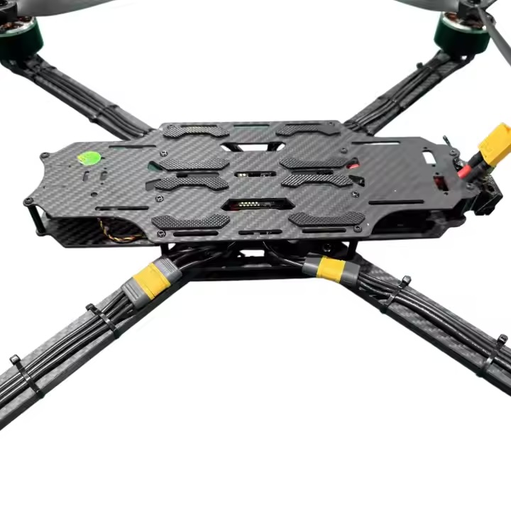
Designed for high-performance in rugged environments, this professional UAV delivers long endurance, advanced imaging, and intelligent flight autonomy — all in a compact, portable frame.
Attach upto Four Payloads
Precision • Power • Portability
Launch and land from confined spaces (5m x 5m) with Automatic Vertical Take-Off and Landing (VTOL) capabilities.
Up to 35 minutes of flight time on a single charge, maximizing your aerial mapping capabilities.
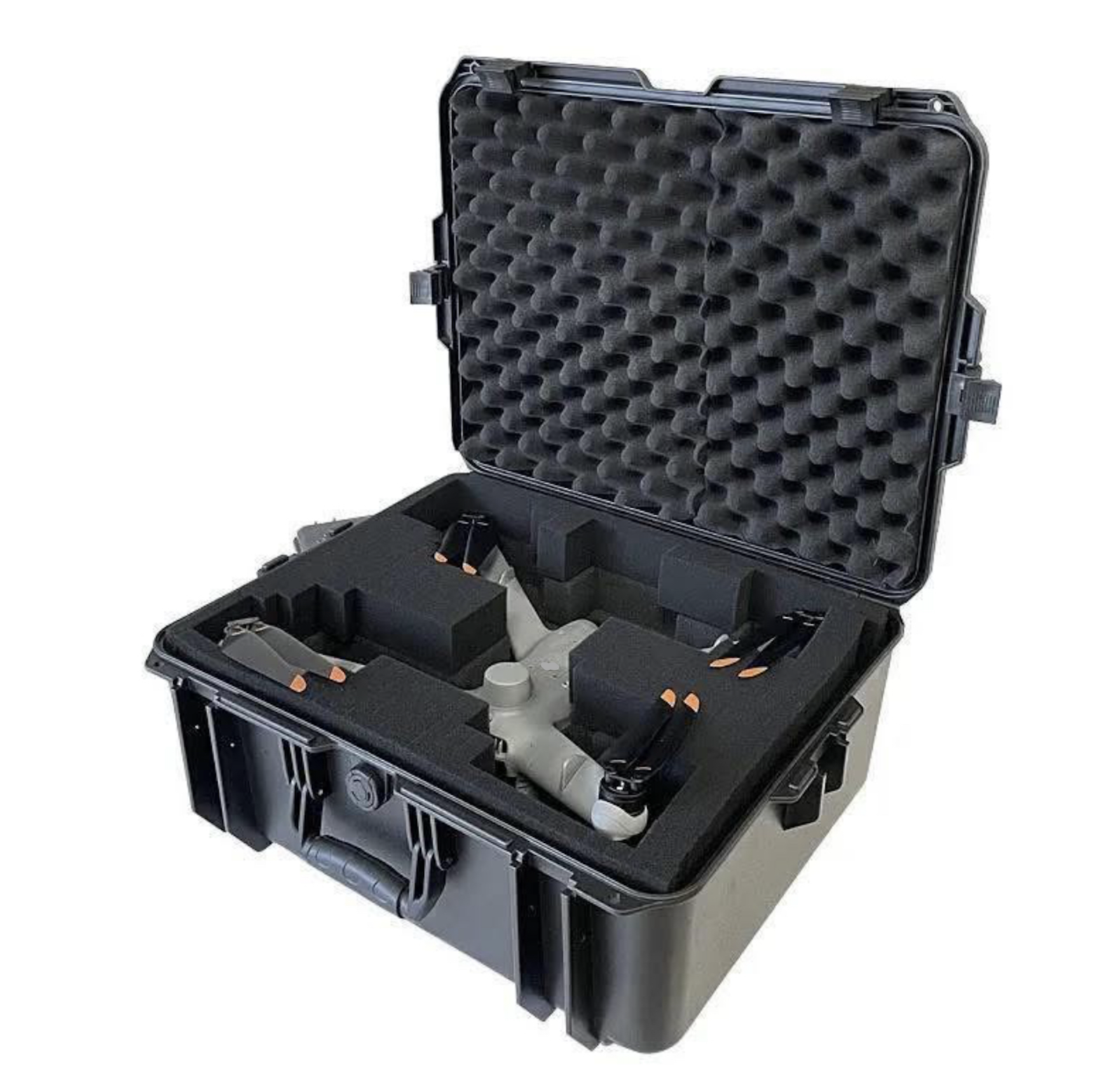
Deployable by a single person in under 2 minutes, with Automatic VTOL capabilities.
IP52 rated with temperature tolerance from -10°C to 50°C, withstands winds upto 18 m/s.
Heavy duty Carbon fiber frame with advanced GPS module for
professional results & reliability
Professional-grade performance in a compact package
Cruise Speed >110km/hour. Over 8.5 km radius of Transmission Range
Ma Launch Altitude of 3000 m AMSL; Operating Altitude of up to 120 m AGL.
Auto Return to home. Training Ready
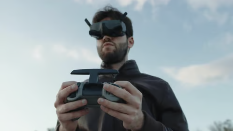
High-resolution FPV (First-Person View) goggles provide drone pilots with a clear, detailed view of their aircraft's surroundings, enhancing the immersive flying experience.
Featuring high-resolution displays, using micro-OLED technology, to deliver crisp & vibrant Video Quality
Flight Modes:
Position Hold, Hover at Waypoint & Auto Waypoint Navigation
Display Overlay:
Live video feed, UAV coordinates, altitude, and distance with Artificial horizon, compass heading
User Controls:
One-click Takeoff, Land, Hover, and dynamic waypoint setting
Additional Features:
Google Maps and other open-source m a p s integration
Stable Connectivity in all Conditions
Multiple frequencies and hopping options.
900Mhz, 2.4Ghz, 5.8Ghz.
Stay connected with secure and stable communication links for reliable drone operation in challenging environments.

PPK (Post-Processed Kinematic)
Accuracy:Horizontal: 5 mm + 0.5 ppm
Vertical: 10 mm + 1 ppm
RTK (Real-Time Kinematic) Accuracy:Horizontal: 7 mm + 1 ppmVertical: 14 mm + 1 ppm
The system supports multi-band, multi-constellation GNSS for enhanced positioning:
Tracked GNSS signals:
GPS, GLONASS, Galileo, BeiDou, QZSS (Quasi-Zenith Satellite System)
This broad signal compatibility ensures improved signal availability and positioning in all environments.
Available connectivity options include:
USB and UART for direct hardware integration
Wi-Fi (802.11 b/g/n) for network-based access
Bluetooth 4.0 / 2.1 for wireless configuration and data exchange
These connectivity standards allow for seamless pairing with mobile devices, ground control stations, and embedded systems.
Horizontal Precision: Ultra-fine resolution that supports highly accurate ground surveys and 3D mapping.
Vertical Precision: Designed for high-altitude accuracy with minimal deviation, especially effective in elevation-based surveys.
Update Rate:GPS: 20 Hz
GNSS (all constellations): 10 Hz
GPS Coverage: Optimized for consistent signal reception even in challenging terrain or partially obstructed environments.
GNSS Integration: Offers real-time and post-processed data output for integration with UAVs, surveying equipment, and GIS platforms.
Storage: 16 GB internal memory
Supports RINEX 2.x / 3.x log formats for GNSS data logging
Sensors:Integrated 9 Degrees of Freedom (9DoF)
IMU for precise orientation and motion sensing, enabling advanced positional awareness even during dynamic movements & security
Robust safety systems for reliable operation
Proper ceretification, open files and softwares included.
We are excited to hear from you.
We do not share your data with anyone.
We respect your privacy and your contact details are safe with us.
Location:
autoAbode Pvt. Ltd.
51 IP Extension. New Delhi.