5" FPV
Quadcopter
UAV
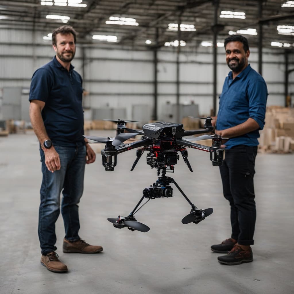
Ultra-compact tactical FPV drone. Fits where no larger UAV can go. Real-time FPV video. IIT Delhi flight controller. Indoor + outdoor capable.
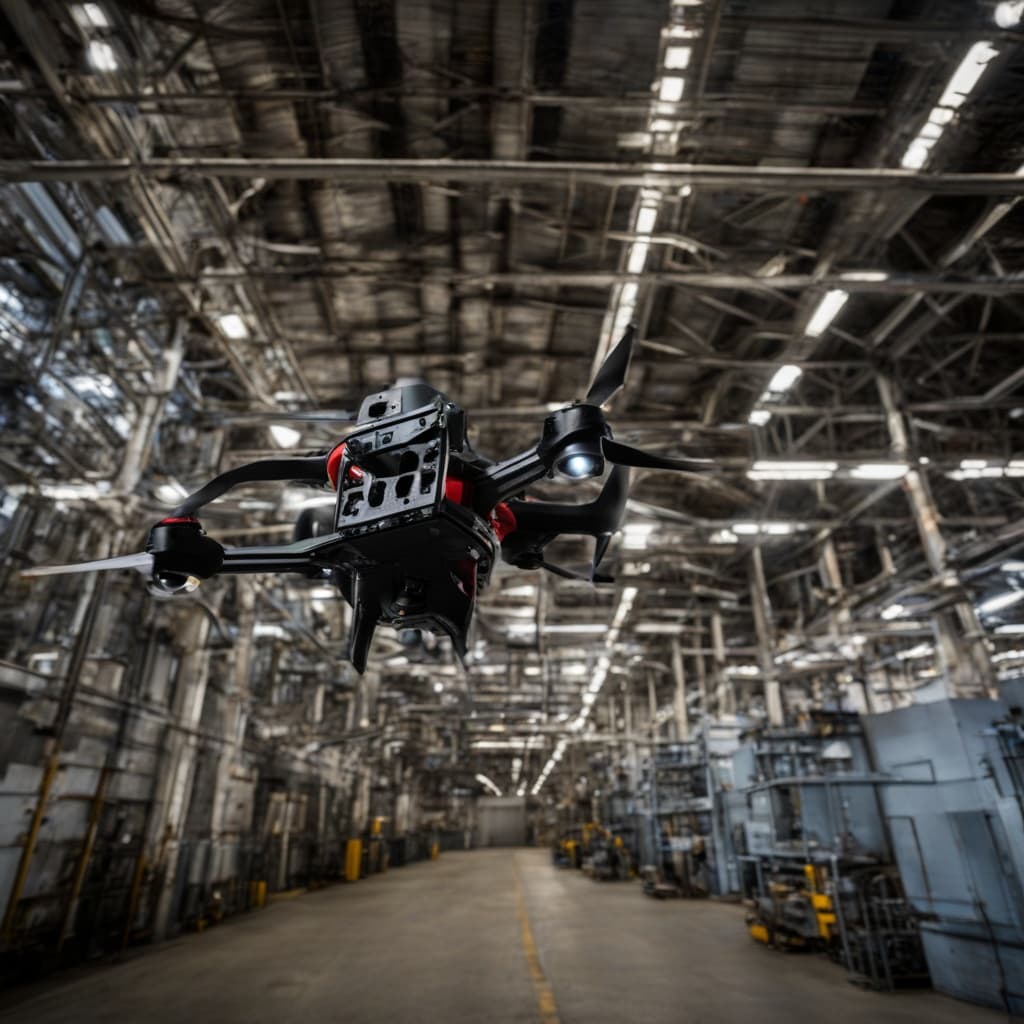
Built for the Tightest Spaces
Ultra-Compact 5" Frame
Smallest form factor in the Autoabode UAV lineup. Fits through doorways, ventilation shafts, and tight corridors.
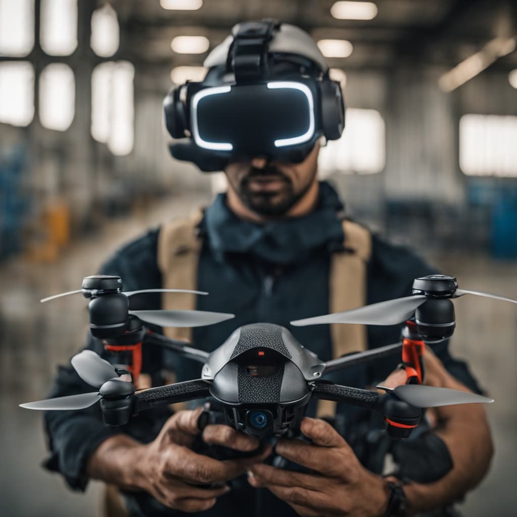
Real-Time FPV Video
Live first-person-view video feed to ground operator. Low-latency link for precise manual control in complex environments.
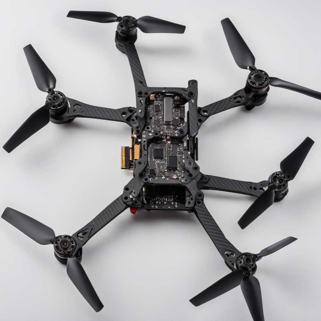
IIT Delhi FC
Indigenous flight controller — stable hover, acro mode, autonomous return-to-home, and failsafe systems.
Indoor + Outdoor
Seamless transition between indoor and outdoor operations. GPS-assisted outdoor hover, optical-flow indoor stabilisation.
Tactical Grade
Designed for MOUT reconnaissance, building clearance ISR, and rapid-reaction field intelligence gathering.
Made in India
Fully indigenous manufacture. Qualifies under Make-in-India defence procurement criteria.
Tactical Applications
MOUT Reconnaissance
Military operations in urban terrain — fly through doorways, corridors, and building interiors for pre-entry intelligence gathering.
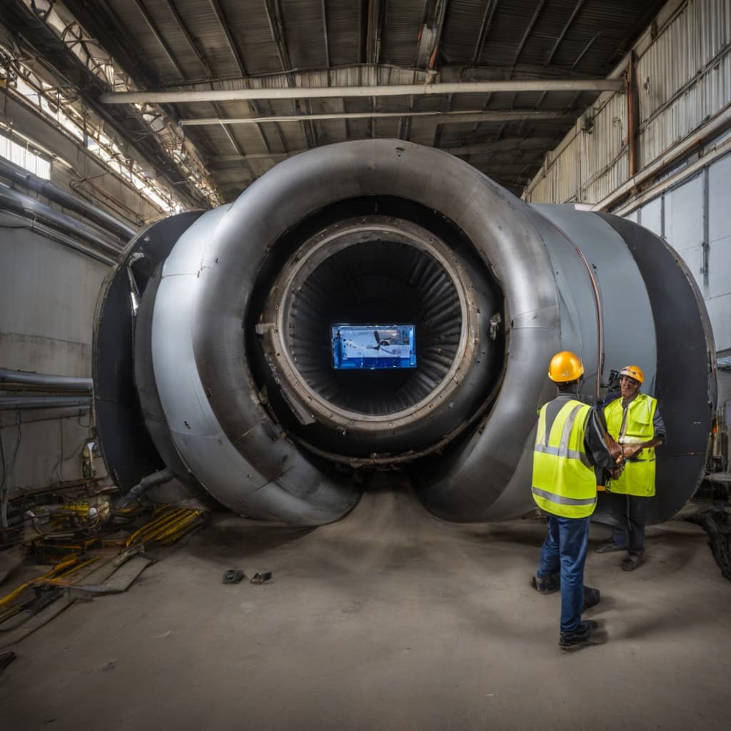
Confined Space Inspection
Industrial pipes, tunnels, underground structures, and roof voids — inspect safely without sending personnel into hazardous spaces.
Rapid ISR
Immediate deployment for forward intelligence. Airborne in under 2 minutes from pack to live video on operator screen.
Training & Simulation
Drone training for military, police, and emergency services. Low-cost high-capability platform for operator skill development.
Compare the Fleet
Find the right UAV for your mission requirements
FAQ
5" FPV Quadcopter UAV
What is the 5" FPV quadcopter used for?+
Indoor-outdoor tactical reconnaissance, confined-space inspection, MOUT ISR, and rapid-deployment surveillance where larger drones cannot enter.
Can it fly indoors?+
Yes — 5-inch frame ideal for building interiors, tunnels, confined spaces, and MOUT operations. GPS outdoors, optical-flow indoor stabilisation.
Is it suitable for defence?+
Yes. IIT Delhi FC, Made in India, qualifies under Make-in-India defence procurement guidelines.
What is the FPV range and video quality?+
Configurable by radio and camera choice. Contact Autoabode for specs matched to your operational range and resolution requirements.
Small Drone. Big Reach.
Contact our UAV division for configurations, custom options, and deployment support.