4K HD
Survey
Drone
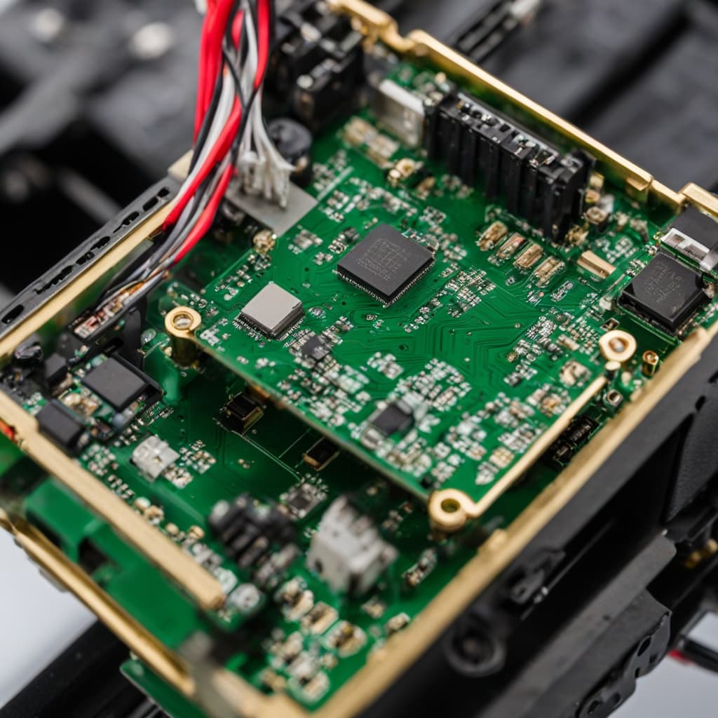
Centimeter-level aerial mapping with dual H-RTK ZED-F9P GNSS receiver. Multi-constellation. Professional-grade photogrammetry. Made in India.

Positioning Accuracy
Technical Specifications
Multi-Constellation GNSS
Simultaneous tracking of all major global navigation systems ensures reliable signal in any terrain.
All constellations tracked simultaneously · Broad signal availability in all environments

Applications
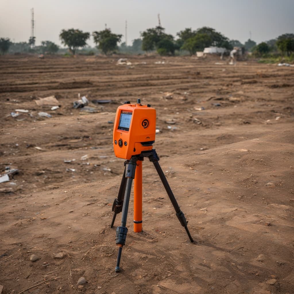
Land Surveying
Cadastral surveys, boundary mapping, and topographic surveys with GCP-less accuracy
Construction & Infrastructure
Site progress monitoring, volumetric calculations, and as-built documentation
Agriculture
Field mapping, crop health assessment, irrigation planning, and NDVI analysis
Defence & Security
Terrain intelligence, route survey, and forward-area mapping for operational planning

FAQ
4K HD Survey Drone · GNSS Accuracy
What GNSS accuracy does this drone provide?+
PPK: 5mm+0.5ppm horizontal, 10mm+1ppm vertical. RTK: 7mm+1ppm horizontal, 14mm+1ppm vertical — via dual H-RTK ZED-F9P receiver.
What is the difference between PPK and RTK?+
RTK provides live centimeter accuracy during flight. PPK processes GNSS data post-flight for higher precision — preferred for photogrammetry and surveying workflows.
What mapping outputs can it produce?+
Orthomosaics, DEMs, 3D point clouds, volumetric measurements. Supports RINEX 2.x/3.x logging and integrates with GIS platforms.
Which satellite constellations are supported?+
GPS, GLONASS, Galileo, BeiDou, and QZSS — all tracked simultaneously for reliable signal in any terrain.
Map the World. To the Centimetre.
Contact our UAV team for full specs, demo flights, and GIS integration support.