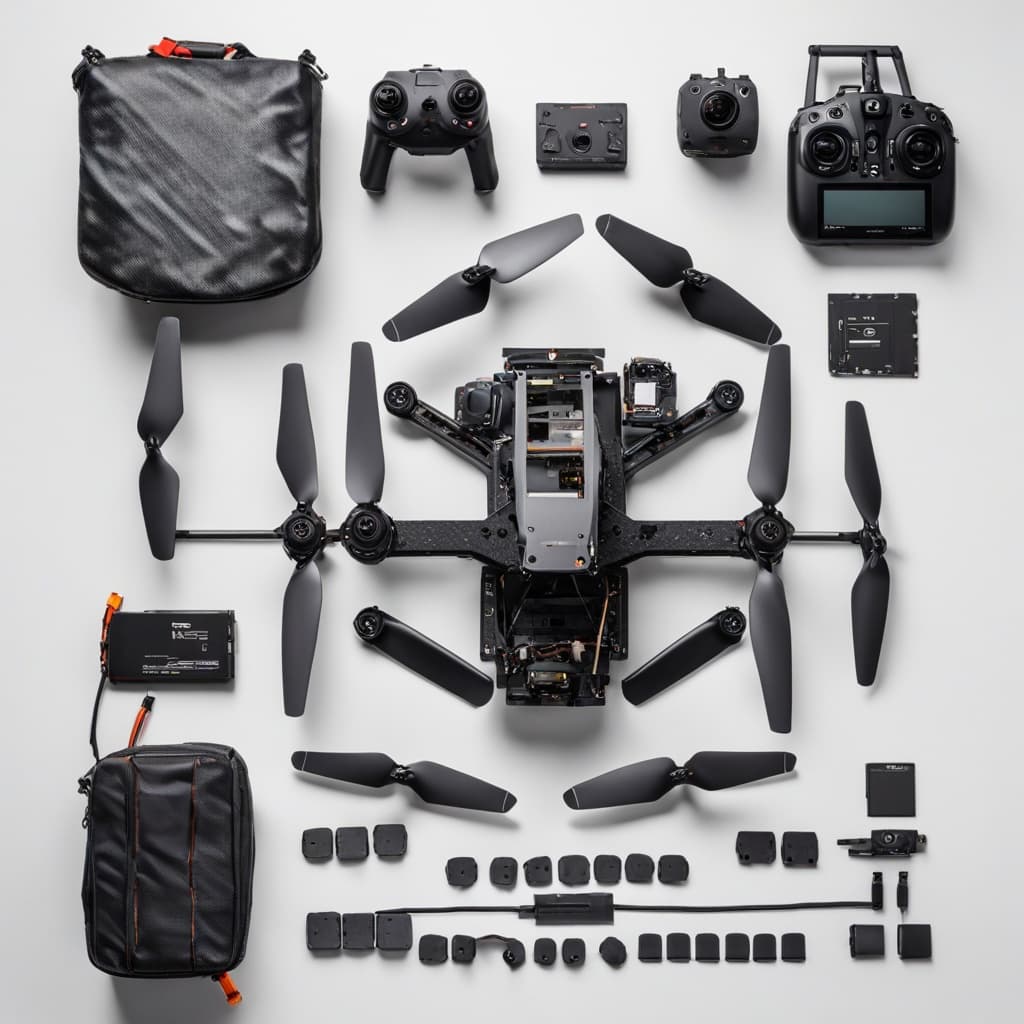
10" FPV
Mapping
Drone
Centimeter-level survey precision in a compact 10-inch FPV frame. Dual ZED-F9P GNSS, 5mm PPK accuracy — built for urban and confined-area mapping.

Why Compact Matters
Professional precision · Maximum access
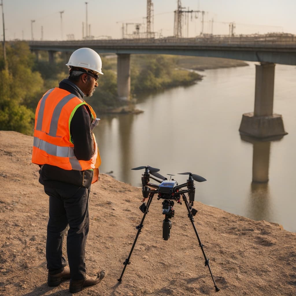
Urban Corridor Mapping
Navigate between buildings, under bridges, and through infrastructure gaps where a larger drone cannot safely operate.
Confined Area Surveys
Map quarries, mines, construction sites, and indoor-outdoor transition zones with full GNSS precision intact.
Rapid Deployment
Transport and launch faster — fits in a standard backpack. Ideal for emergency survey and quick-reaction field teams.
Same Professional GNSS
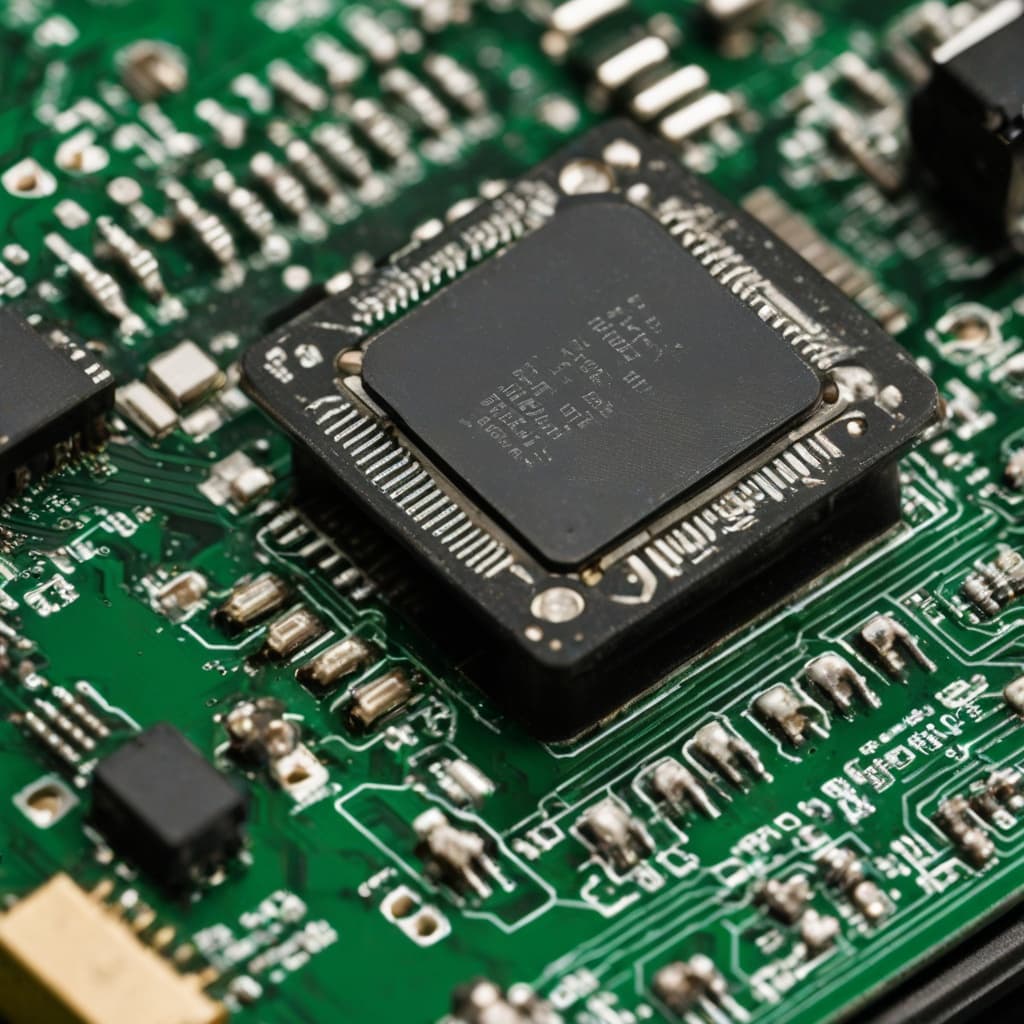
The same ZED-F9P dual receiver as larger survey drones — 5mm PPK accuracy in a fraction of the footprint.

FAQ
10" FPV Mapping Drone
What makes the 10" FPV different from larger survey drones?+
Compact 10" frame gives agility for urban, confined, and indoor-outdoor mapping. Same ZED-F9P GNSS for centimeter accuracy — maximum access, zero compromise on precision.
What accuracy does it achieve?+
PPK: 5mm+0.5ppm horizontal. RTK: 7mm+1ppm horizontal. Dual ZED-F9P tracking GPS, GLONASS, Galileo, BeiDou, QZSS.
Can it map in urban areas?+
Yes — compact frame ideal for urban corridors, building facades, tight construction sites, and areas inaccessible to larger drones.
What GNSS data formats does it log?+
RINEX 2.x and 3.x on 16GB onboard storage. Compatible with all professional survey post-processing software.
Precision. No Limits on Access.
Request full technical specs or compare with our complete UAV range.